One Water.
One Platform.
Trusted by cities and agencies around the world
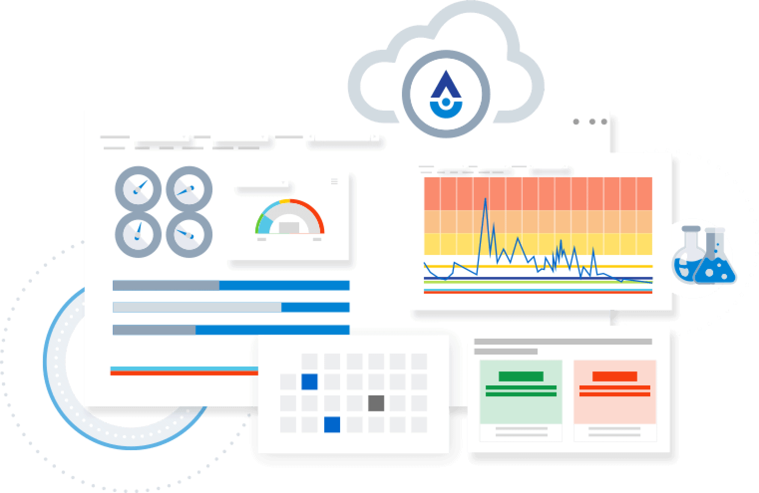
The Platform
Integrate data sources.
Consolidate disparate data sources and systems into a unified platform for efficient management.
Defensible analytics and reporting.
Easily display and correct integrated data sources for compliance reporting with a defensible audit trail.
Predict and distribute insights.
Make faster decisions with real-time insights, powerful contextual visualization tools, and interactive online access for consumers.
Watch VideoPeople are tapping into our data daily to make decisions, and that’s one of the reasons why it’s critical for us to be on top of our data. If we didn’t have a clear, centralized system with alerts and easy-to-use dashboards, the whole process would be much harder to manage.
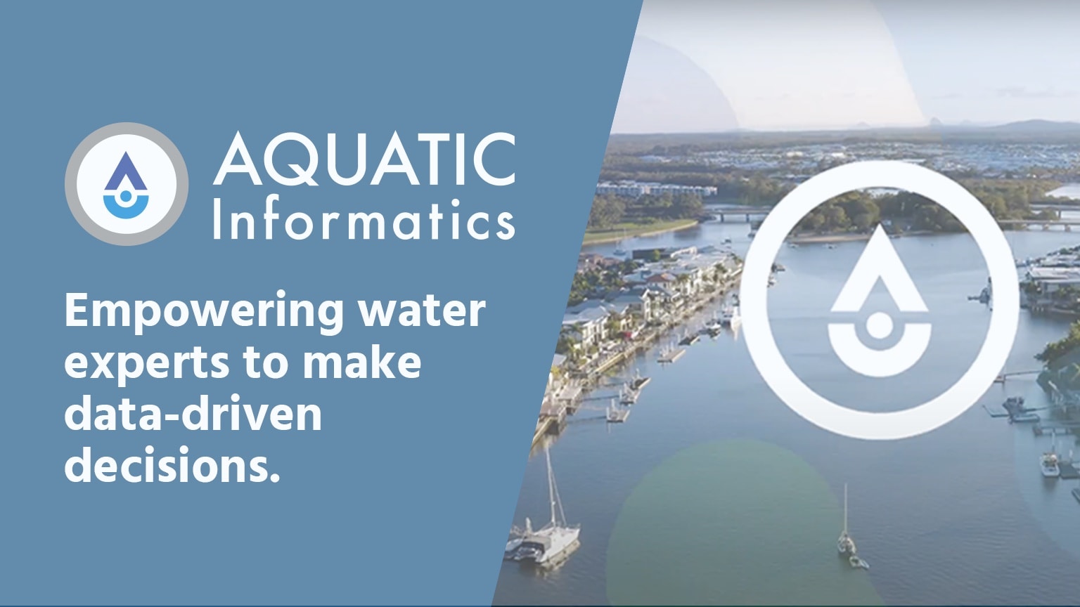
Empowering water experts to make data-driven decisions.
Aquarius is analytics software for natural environments that provides an integrated suite from data acquisition, to data management, and right through to web-based data dissemination and decision support.
Linko simplifies the management of fats, oils and grease programs, industrial pretreatment, and hauled waste records. Solutions for all types of FOG program and Hauled Waste, including electronic reporting of manifests.
Tokay is tailored to your Cross Connection Control program’s specific requirements and ready to scale, significantly reduce administrative tasks, and eliminate manual data entry for testers to streamline backflow prevention management.
WaterTrax compliance and electronic reporting tools for municipalities is a true cloud solution that centralizes sampling schedules, remote data collection, and compliance reporting to deliver safe drinking water and ensure clean wastewater is put back into the environment.
Aquatic Compliance Platform is a cloud-based solution that simplifies and streamlines Fats, Oils, and Grease programs and Hauled Waste to save time, mitigate risk, and ensure regulatory compliance.
Rio is a cloud-based software solution for the management of multiple sources of water data for drinking water and wastewater utilities, with intuitive dashboards, charting, and graphing to quickly see insights and identify trends.
WIMS, also known as a Water Intelligence Management Solution, allows you to streamline operations and analyze water and wastewater information from multiple data sources, including SCADA and LIMS, to improve efficiency and reduce manual tasks.


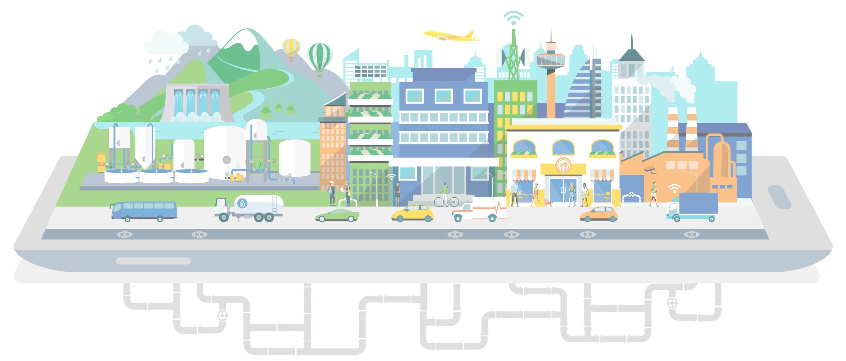
Eliminating data silos throughout the water cycle.

Announcing HydroCorrect, a new automated data validation tool
Our latest development for Aquarius, HydroCorrect is a new automated data validation tool that can power proactive monitoring and management of groundwater, flooding, and water quality in the Aquarius platform.
Read News
Hach Partnership Launches Rio Software for Utilities
Announcing the launch of Rio, the next generation in cloud-based compliance and operations data management solutions for water and wastewater utilities.
Read News